
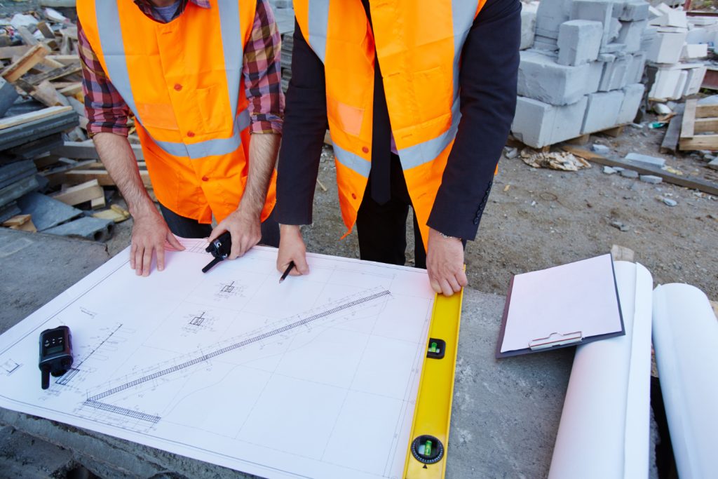
Construction surveying is a vital process in the realm of construction and civil engineering, and it directly influences project outcomes. At its core, accuracy in surveying refers to the degree to which the measurements or outcomes reflect the true values. This precision is paramount; even minor inaccuracies can lead to significant errors in construction plans and, consequently, costly overruns. The methods adopted in construction surveying enhance measurement precision through sophisticated tools and protocols. A deep understanding of what contributes to this accuracy is essential for professionals in the field.
The Impact of Errors in Construction Surveying
Errors in construction surveying can lead to dire consequences, both financially and structurally. For instance, inaccurate measurements can result in misalignments, where buildings do not conform to their designated placements. This can further cause problems such as structural instability or complications with regulatory compliance. The cumulative costs of these errors can spiral out of control, affecting not just the construction phase but also long-term maintenance and safety standards.
There are several primary sources of errors in construction surveying, which include environmental factors, human mistakes, and equipment limitations. Environmental factors like changing weather conditions can have a substantial impact on the measurements taken in the field. For example, harsh sunlight may cause heat waves that distort measurements, and rain can obscure visibility, leading to inaccuracies.
Human error remains one of the most challenging aspects to mitigate. It often manifests in the misuse of instruments or misinterpretation of data. Training programs for surveying professionals are essential to counteract these risks, ensuring that they are equipped not only with technical skills but also with awareness of best practices in error prevention.
Equipment limitations can also contribute to inaccuracies. While modern surveying instruments have improved, they still possess inherent limitations. Older devices might not provide the necessary precision required for specialized projects, and using tools beyond their operational limits can yield erroneous results. As such, it’s crucial for surveyors to continually update their tools and technology to keep pace with industry advancements.
Implementing Effective Error Prevention Strategies
To minimize risks associated with survey errors, construction professionals must adopt a variety of effective error prevention strategies. First and foremost is the incorporation of advanced technologies. Utilizing GPS systems, total stations, and drones can significantly enhance the reliability of surveying data. These tools enable quicker and more accurate data collection, minimizing the chances of human error.
Continuous training and professional development play critical roles in ensuring that surveyors remain adept at utilizing current technologies and methodologies. Organizations should invest in regular workshops and training sessions to familiarize their teams with the latest practices in the industry. This ongoing education not only boosts individual competencies but also builds a culture of quality within the team.
Another practical strategy involves the implementation of systematic checks and balances. Conducting secondary surveys using different methods can validate initial findings. For instance, if a survey is completed using a GPS system, a thorough comparison with the data obtained from traditional methods can assist in identifying potential errors.
A standard practice is to keep detailed documentation at every stage of the surveying process. This meticulous record-keeping allows for easy tracking of any discrepancies and provides a roadmap for verification. Consequently, many organizations have adopted software solutions that facilitate seamless data management and improve communication among project stakeholders.
The Role of Technology in Enhancing Surveying Accuracy
Modern technology has transformed construction surveying, bringing a plethora of tools designed to enhance accuracy and efficiency. Among the technological breakthroughs, GPS surveying stands out for its ability to capture and report measurement precision quickly. With the ease of deploying GPS units across large sites, construction professionals can conduct extensive surveys that provide real-time data, essential for informed decision-making.
Another emerging technology is 3D laser scanning. This technique captures a comprehensive snapshot of the construction site and provides a highly accurate digital representation. The adoption of such technology allows for detailed analysis and planning, which is particularly beneficial during the initial phases of design and development. When changes occur mid-project, having a precise digital twin of the site enables project managers to assess impacts quickly and efficiently.
Moreover, integrating Building Information Modeling (BIM) systems with surveying data optimizes the entire construction process. BIM allows various stakeholders to visualize data in a cohesive manner, ensuring everyone, from designers to contractors, is on the same page. This technological amalgamation leads to better collaboration, minimizing misunderstandings and preventing costly errors.
For professional construction surveying services that prioritize accuracy and utilize cutting-edge technology, consider partnering with 5D Surveying Pty Ltd. Our experienced team is committed to delivering precise measurements and reliable data for your projects.